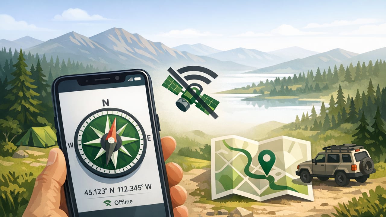
Using a phone compass for off grid navigation offline can work surprisingly well—if you understand what your phone is measuring, how to compensate for magnetic quirks, and how to combine bearings with an offline map and basic land navigation habits. This guide focuses on practical, no-signal scenarios: deep backcountry trails, rural property lines, storm evacuations, and any situation where you can’t rely on live data.
Important note: a phone compass is not a magical replacement for skills. Treat it as a useful instrument in a bigger system: route plan + map + compass + common sense.
What a phone compass can (and cannot) do offline
Your phone’s “compass” is typically a magnetometer (often paired with a gyroscope and accelerometer). Offline, it can still provide:
- Heading (direction you’re facing) relative to magnetic north
- Bearing to follow (when you set or read an angle)
- Basic orientation for map-and-compass navigation
What it cannot reliably provide offline (without additional data):
- Real-time position if GPS is unavailable or blocked (GPS can work without cell service, but may be limited under heavy canopy, canyons, or indoors)
- Accurate altitude without barometric calibration and context
- Guaranteed accuracy near metal (vehicles, knives, firearms, power lines, some rocks, phone cases with magnets)
Offline navigation essentials: the “3-layer” approach
For dependable off-grid navigation, think in layers. If one layer fails, the others still work.
- Primary: Paper map + baseplate compass + route plan
- Secondary: Offline map app (downloaded topo/imagery) + GPS (no data needed)
- Tertiary: Phone compass (magnetometer) for quick headings and bearings
This article focuses on layer 3 and how to integrate it with layers 1–2.
Step 1: Prepare your phone for offline compass work
1) Download maps for offline use
A phone compass only tells direction. You still need a map. Before leaving coverage:
- Download the relevant topo tiles / trail maps for offline use.
- Save key waypoints: trailhead, water sources, bailout roads, camps, and “last known good” checkpoints.
2) Enable the right settings (and disable the wrong ones)
- Battery: Low Power Mode is fine; avoid aggressive app-killing that stops sensors.
- Location Services: If you’ll use offline GPS, keep Location on; you can keep cellular data off.
- Backups: Screenshot critical map sections in case an app misbehaves.
3) Protect sensor accuracy
Magnetometer readings can be distorted by nearby magnets and metal. Common culprits:
- Magnetic phone mounts and wallets
- Some rugged cases with magnetic clasps
- Carabiners, knives, multi-tools in the same pocket
- Standing next to a vehicle, fence, or large boulder with iron content
Field rule: if a heading seems “sticky,” jumpy, or obviously wrong, move a few meters away from metal and retest.
Step 2: Calibrate your phone compass (and know when to re-calibrate)
Calibration aligns the magnetometer to your phone’s body orientation and filters some local interference.
Calibration checklist
- Remove magnetic accessories (wallets, mounts) if possible.
- Hold the phone away from metal objects (including your belt buckle and trekking pole tips).
- Follow the in-app calibration prompts (often a figure-eight motion).
- Re-check by turning slowly 360°; the heading should change smoothly.
Re-calibrate when:
- You changed cases or attachments
- You traveled a long distance (especially to different magnetic conditions)
- The compass suddenly becomes unstable after being near a car or electronics
Step 3: Magnetic north vs true north (declination) in plain language
Most phone compasses measure magnetic north. Most maps are oriented to true north. The difference is magnetic declination, which varies by location and changes slowly over time.
If you ignore declination, you can drift off course—sometimes by a lot. A 10° error over 2 km can put you hundreds of meters away from your intended line, which matters in poor visibility or complex terrain.
How to handle declination offline
- Option A (best): Use a navigation app or compass tool that lets you display true heading or apply declination.
- Option B (manual): Adjust bearings yourself using a known declination value for the area (printed on many topo maps).
Quick declination math
As a general convention:
- If declination is East, then True = Magnetic + declination
- If declination is West, then True = Magnetic − declination
Then normalize to 0–360°.
// Convert magnetic bearing to true bearing (degrees)
function magneticToTrue(magneticDeg, declinationDeg, declinationDirection) {
  let trueDeg = magneticDeg;
  if (declinationDirection === 'E') trueDeg += declinationDeg;
  if (declinationDirection === 'W') trueDeg -= declinationDeg;
  trueDeg = ((trueDeg % 360) + 360) % 360;
  return trueDeg;
}
Step 4: Taking and following a bearing with a phone compass
In off-grid travel, bearings are most useful for short, controlled legs between known features (a ridge saddle, stream junction, or visible peak). Here’s a reliable workflow.
A) Take a bearing to a visible landmark
- Pick a distinct landmark in the distance (peak, lone tree, notch, radio tower).
- Hold the phone flat and steady (or in the orientation your compass app expects).
- Wait for the heading to settle; note the bearing.
- If needed, convert magnetic to true using declination.
- Move toward the landmark, then re-check periodically.
B) Follow a bearing when no landmark is visible
This is the harder case (fog, whiteout, dense forest). Use “leapfrogging” to reduce drift:
- Set your bearing.
- Identify the most distant point you can see along that line (a tree trunk, rock, or gap).
- Walk to it, then repeat.
- Stop and re-check after obstacles; don’t assume you stayed on line.
Field tip: If your compass heading changes when you tilt the phone, you’re either in a magnetic disturbance or the app expects a different holding angle. Keep your technique consistent.
Accuracy realities: phone compass vs baseplate compass vs GPS
Each tool has strengths. Here’s a practical comparison for off-grid use.
| Tool | Works offline? | Best for | Weak points |
|---|---|---|---|
| Phone compass (magnetometer) | Yes | Quick headings, short bearings, orientation | Distorted near metal, depends on calibration, can be jittery |
| Baseplate compass | Yes | Reliable bearings, map work, triangulation | User skill dependent; declination must be set correctly |
| GPS (phone or handheld) | Usually yes (no cell needed) | Position fixes, track logging, speed, ETA | Battery drain; can struggle under canopy/canyons; doesn’t teach direction alone |
Practical off-grid scenarios (and how to use the phone compass safely)
Scenario 1: Re-orienting after losing the trail
If you step off trail and become unsure of direction:
- Stop and avoid “wandering drift.”
- Use the phone compass to determine your current heading and compare it to your intended direction of travel.
- If you have an offline map, rotate it so north matches the compass (accounting for declination if needed).
- Choose a clear, conservative objective (return to last known point, not “push forward”).
Scenario 2: Crossing open terrain in poor visibility
- Break the route into short legs (e.g., 200–400 meters).
- Use leapfrogging to reduce cumulative error.
- Avoid “aiming off” mistakes—if you must cross to a linear feature (road/river), intentionally offset to a known side.
Scenario 3: Navigating around magnetic interference
If your heading swings wildly:
- Move away from your pack frame, trekking pole tips, and any vehicle or fence.
- Take the phone out of the same pocket as metal tools.
- Re-calibrate and compare against a physical compass if you have one.
Triangulation basics (using compass bearings + map)
Triangulation helps you estimate position without GPS by taking bearings to known landmarks and plotting them on a map.
- Identify two (preferably three) landmarks you can see and that are clearly marked on your map.
- Take a bearing to each landmark using your phone compass.
- Convert to true bearings if your map is true-north oriented.
- Plot “back bearings” from the landmarks toward you (bearing ± 180°).
- Your position is near where the lines intersect (a small triangle is normal).
This is where a baseplate compass shines, but a phone compass can work for rough fixes if you keep expectations realistic.
Offline safety checklist for phone-based navigation
- Redundancy: carry a simple physical compass and a paper map when conditions warrant it.
- Power: start with a full charge; bring a power bank; keep the phone warm in cold weather.
- Downloads: verify maps are truly offline (airplane mode test).
- Declination: know your local value and how you’ll apply it.
- Emergency plan: share route + return time; consider satellite messaging for remote areas.
Troubleshooting: common compass problems and fixes
Problem: The heading is off by 20–90 degrees
- Cause: magnetic interference (case magnets, car, power lines)
- Fix: remove accessories, step away from metal, recalibrate
Problem: Heading lags or jumps around
- Cause: sensor fusion instability, inconsistent phone orientation
- Fix: hold steady; rotate slowly; close other apps; recalibrate
Problem: Compass points “north” but map alignment feels wrong
- Cause: declination mismatch (magnetic vs true)
- Fix: apply declination or switch compass display to true heading if available
Choosing an offline compass app: what matters
If your goal is a dependable phone compass for off grid navigation offline, prioritize features that support field technique rather than flashy visuals:
- Works fully offline (no sign-in required to read the compass)
- Clear numeric bearings (0–360°) and stable smoothing
- True vs magnetic option or an easy way to apply declination
- Calibration guidance and sensor status indicators
- No subscription lock for core compass functionality
Bottom line
A phone compass can be a legitimate part of an offline navigation system when you (1) calibrate it, (2) manage magnetic interference, (3) account for declination, and (4) use it in short, verifiable legs tied to terrain features. Pair it with offline maps, carry a simple backup compass when consequences are high, and you’ll have a setup that works even when the grid disappears.
Gentle note: if you prefer an iOS toolset that stays offline and bundles multiple measurement utilities in one place, apps like Level Tool include a compass among other field-friendly instruments.
