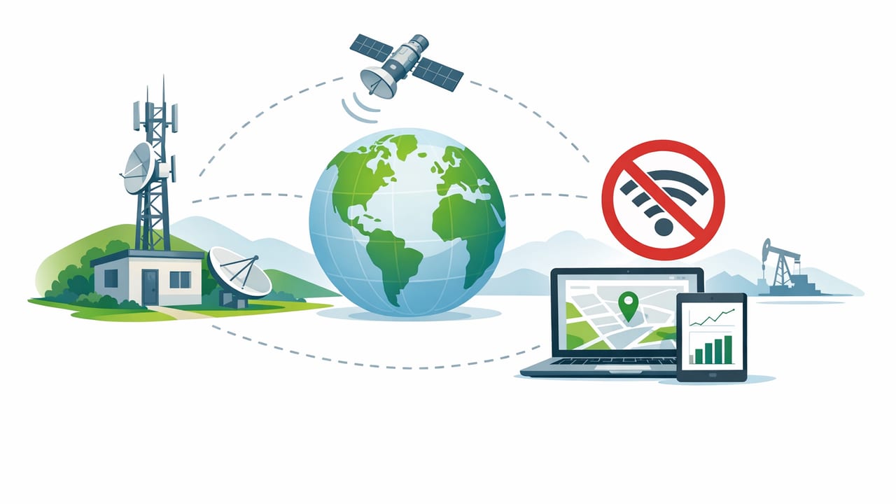
Remote job sites and off-grid builds have a common problem: the work still needs accurate layout, checks, and documentation—even when there’s no signal. Whether you’re on a cabin foundation, a backcountry trail build, a farm repair, or a steel shed pad miles from service, no wifi measurements for remote sites can be reliable if you treat your phone like a field instrument and follow a consistent process.
This guide focuses on practical, repeatable workflows for taking and recording measurements offline using the sensors already in your iPhone (and a few low-tech accessories). You’ll learn what to trust, what to verify, and how to keep your data organized so you can finish the job—even in airplane mode.
What “offline measurement” really means
Most measurement tasks don’t require internet at all. The key is understanding which functions depend on connectivity (cloud syncing, map tiles, online calibration guides) versus which rely on on-device sensors (accelerometer, gyroscope, magnetometer, barometer, camera, and touchscreen).
- Works offline: bubble level, angle finder, basic ruler referencing, compass heading (with calibration), barometric pressure trends, magnetometer-based metal detection, local notes/photos, local file exports.
- May degrade offline: maps without downloaded tiles, cloud-based project logs, web references, shared checklists.
Offline success comes down to preparation, calibration, and a field log you can maintain without apps fighting for a connection.
Pre-field checklist (10 minutes that prevents rework)
Before you lose service, set yourself up for consistent results:
- Charge and plan power: bring a power bank; cold weather drains batteries quickly.
- Turn off what you don’t need: use airplane mode to save power while keeping Bluetooth on if you use a laser distance meter.
- Clean and protect reference surfaces: wipe dust off the phone and any straightedge you’ll use; grit changes readings.
- Download offline references: PDF plans, checklists, and any maps you may need.
- Choose a logging method: Notes app, a spreadsheet file saved locally, or a simple text log.
Core offline measurement workflows
1) Level and slope checks (pads, footings, posts, RV pads)
A phone can be an excellent quick-check level if you treat it like a tool: use a stable surface, avoid hand wobble, and verify against a known reference.
Workflow:
- Reference first: place the phone on a known level surface (or a quality spirit level) to check if your readings are consistent.
- Measure the work surface: set the phone flat on plywood, a beam, or a straightedge laid across the area you’re checking.
- Use repeat reads: take 3 readings, lifting and replacing the phone each time. If they agree within a tight range, trust it.
- Record slope as a number: degrees (°) or percent grade—whichever your crew uses.
Pro tip: If the surface is rough (OSB seams, gravel, textured concrete), set the phone on a short flat board or a metal straightedge to average out bumps.
2) Straight-line measurements without a tape (quick estimates)
Touchscreen rulers are great for small objects and quick checks, but you’ll still need a plan for longer distances. Offline doesn’t mean “no tools”—it means no dependency on the internet.
Best practice: pair your iPhone with at least one of these:
- A 16–25 ft tape: fastest and most defensible.
- A folding rule: great in tight spaces.
- A laser distance meter (Bluetooth optional): works fully offline; Bluetooth just transfers readings.
Offline workflow for logging tape/laser numbers:
- Label the point pair (e.g., A to B, NE corner to pier 3).
- Record the measurement, units, and method (tape, laser).
- Take one photo showing the endpoints or the tape hook placement if the measurement is critical.
3) Compass-based alignment (bearing lines, rough layout)
On remote sites, a compass can help you orient a structure or align a trail segment—provided you understand magnetic interference. Phones use a magnetometer, which is sensitive to nearby metal, vehicles, rebar, and power tools.
Workflow:
- Calibrate away from metal: step away from vehicles, reinforced concrete, and tool bags.
- Hold the phone consistently: flat or upright, depending on your compass view.
- Check for interference: rotate your body slowly; if the heading jumps erratically, move locations.
- Use bearings for “good enough” lines: for high-precision layout, use surveying methods or verified baselines.
If you can’t explain what might have affected the heading, don’t use it to set something permanent.
4) Barometric pressure for weather awareness (safety and scheduling)
Weather can be the difference between finishing a pour and losing a day. Barometric trends work offline because the sensor reads local pressure; the value is more meaningful when you track the change over time.
Workflow:
- Record pressure at the start of shift, mid-shift, and before wrap-up.
- Watch for rapid drops (often associated with incoming systems).
- Pair the reading with a brief sky/wind note to build site intuition.
5) Metal detection for quick checks (not a substitute for scanning)
Magnetometer-based detection can help locate ferrous metal (some studs, nails, screws) behind drywall or in cluttered work areas. It’s useful offline, but it won’t detect all metals and can be fooled by nearby tools or wiring paths.
Workflow:
- Remove metal from your pockets (keys, knife) to reduce noise.
- Scan in a grid pattern and mark peaks with painter’s tape.
- Confirm with a second method if you’re drilling or cutting.
Accuracy: what to trust, what to verify
In the field, “accurate enough” depends on the task. Use this table as a quick decision guide.
| Task | Phone sensor/tools | When it’s OK | When to use pro gear |
|---|---|---|---|
| Check shelf/beam level | Level/angle tool + straightedge | Rough install, quick verification | Finish carpentry, long spans, tolerance-critical work |
| Set slope for drainage | Angle tool (degrees/grade) | Short runs, spot checks | Long runs, code/tolerance requirements |
| Orient to a bearing | Compass (magnetometer) | Trail alignment, rough orientation | Property lines, structural layout, high interference areas |
| Weather trend awareness | Barometer (pressure trend) | Scheduling and safety decisions | Mission-critical forecasting (use dedicated forecasts when available) |
| Find hidden ferrous metal | Magnetometer scan | Preliminary locate | Before drilling/cutting in unknown walls (multi-sensor scanner) |
Offline field logging: a simple, defensible system
The biggest failure mode on remote sites isn’t the measurement—it’s losing track of it. Use a consistent naming scheme and store everything locally until you’re back online.
Recommended log format
- Project code: short identifier (e.g., RIDGE-CABIN)
- Location tag: NE corner, Pier 2, Door rough opening
- Measurement: value + units
- Method: tape/laser/level/compass
- Confidence: high/medium/low + why
- Photo reference: filename or timestamp
Copy/paste CSV template (works offline)
Paste this into a note or a local spreadsheet file. It’s readable later and easy to import.
timestamp,project,tag,measurement,units,method,confidence,notes,photo_ref
2026-05-14T08:12,RIDGE-CABIN,Pad NW corner,0.3,deg,level,high,3 repeat reads agree,IMG_2140
2026-05-14T08:25,RIDGE-CABIN,Pier 2 to Pier 3,312.5,cm,tape,medium,windy; recheck planned,IMG_2147
2026-05-14T13:10,RIDGE-CABIN,Bearing of main wall,92,deg,compass,low,near truck; moved 15m,IMG_2191
Calibration and troubleshooting in the field
When readings look “off,” don’t guess—run a quick diagnostic:
- Level seems inconsistent: rotate the phone 180° on the same surface. If the reading flips sign but keeps magnitude, it’s likely surface-related; if it changes wildly, stabilize your setup and retest.
- Compass jumps: move away from metal, recalibrate, and remove magnetic accessories (some phone mounts and cases can interfere).
- Barometer seems wrong: focus on trend rather than absolute value; rapid changes are more actionable than exact pressure at sea level.
- Metal detection is noisy: clear the area of tools; scan slower; mark only consistent peaks found from multiple directions.
Field habits that improve results (even without better tools)
Small habits make offline work feel “professional-grade”:
- Use repeatability as your truth test: three consistent reads beat one perfect-looking read.
- Measure twice, record once: don’t log the first number you see if it’s important.
- Photograph context: one photo of the endpoints and one of the readout saves arguments later.
- Write assumptions: “measured from face of sheathing,” “straightedge used,” “wind gusts.”
- Keep units consistent: mixing inches/mm mid-day is a classic remote-site mistake.
Putting it together: a sample remote-site routine
If you want a repeatable daily rhythm for no wifi measurements for remote sites, use this lightweight routine:
- Morning: calibrate compass away from metal; confirm level repeatability on a known surface; start the CSV log.
- Midday: spot-check critical slopes/angles; take photos of any “one-shot” measurements before you move materials.
- End of day: capture one summary note (what changed, what needs recheck), and export your log to a file stored on-device.
One-tool convenience (optional)
If you prefer keeping multiple offline measurement utilities in one place on iOS, an app like Level Tool bundles common on-device instruments (level, ruler, compass, barometer, and more) and works without requiring Wi‑Fi—useful when you want a single, consistent interface for field checks.
