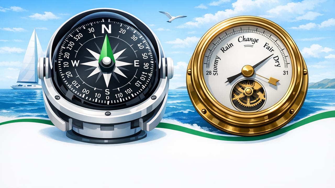
On the water, small pieces of information add up: a reliable heading to keep you oriented, and a steady read on barometric pressure to anticipate changing weather. Dedicated marine electronics remain the gold standard, but your iPhone’s sensor suite can be a surprisingly useful backup—especially when you need tools that work offline, without service, subscriptions, or a charged chartplotter screen.
This guide focuses on a field-ready workflow for marine heading and barometer for boating: how the measurements work, what can throw them off, and how to use them for safer decision-making.
Why heading and barometric pressure matter on a boat
Two common failure modes on the water are (1) losing situational orientation and (2) underestimating fast-moving weather. Heading and pressure don’t replace charts, GPS, or VHF radio, but they help you answer two critical questions:
- Where am I pointing? (Heading/compass) — useful for steering, returning to a landmark, or holding a course when visibility drops.
- What is the weather trend doing? (Barometer) — useful for anticipating fronts, squalls, and pressure-driven wind shifts.
Used together, these tools support better go/no-go calls, better timing, and better contingency planning.
Marine heading basics (and why “north” is complicated)
Most iPhone compass/heading tools use a combination of sensors:
- Magnetometer (detects magnetic field direction)
- Gyroscope (smooths and stabilizes rotation)
- Accelerometer (helps interpret device orientation relative to gravity)
For boating, you’ll run into three “norths”:
- Magnetic North: what a magnetic compass points to.
- True North: geographic north pole reference on charts.
- Grid North: map projection reference (more relevant on land maps).
Declination (also called variation) is the angle between magnetic north and true north at your location. It changes by region and slowly over time. Many navigation apps can account for declination automatically; if yours can’t, note the local declination from your chart or reputable source and apply it consistently.
Heading vs. course over ground (COG)
Another common confusion: heading is the direction the bow points; course over ground is the direction you’re actually moving over the Earth, which can differ due to wind, current, and drift. A compass gives heading; GPS gives COG. For safe boating, it’s important to know which one you’re looking at.
How to get a more reliable heading reading on a boat
Phones are sensitive to magnetic interference and mounting choices. These steps improve stability:
1) Choose a low-interference location
- Keep the phone away from speakers, magnetic mounts, power inverters, high-current wiring runs, and metal toolboxes.
- On smaller boats, even stainless rails and console hardware can affect readings when the phone is very close.
- If using a case, avoid cases with magnets or metal plates (common with car mounts).
2) Calibrate the compass (and know when calibration is lying)
If your compass prompts for calibration, do it in an open area away from the helm electronics. Calibration improves the device’s internal model of local magnetic disturbances.
Red flags that you’re still getting bad data:
- Heading swings wildly when you are stationary.
- Heading changes when you move the phone a few inches (without rotating it).
- Heading disagrees strongly with a known reference (channel markers, range lights, or a physical compass) under calm conditions.
3) Stabilize the phone’s orientation
Handheld readings can be jumpy. If you can, mount the phone in a fixed cradle (non-magnetic) and use a consistent orientation (portrait/landscape) so the sensor fusion stays stable. On an open boat, consider a tether and a shaded spot to reduce heat-related throttling and screen dimming.
4) Cross-check with a simple “sanity test”
Before leaving the dock, verify the phone’s heading against a trusted reference:
- Point the bow toward a known landmark or channel alignment.
- Compare iPhone heading to your onboard compass or the charted bearing.
- If the difference is large, relocate the phone and repeat.
Barometer basics for boating: what the number is really telling you
An iPhone barometer measures ambient air pressure. Some apps present this as:
- Station pressure: raw pressure at your current elevation.
- Sea-level pressure: adjusted to sea level for standardized weather comparison.
For boating, sea-level pressure is usually easier to interpret because forecasts and marine observations are commonly referenced to sea-level pressure.
Pressure trend beats pressure value
On the water, the most useful metric is the trend: is pressure rising, steady, or falling, and how fast? A single reading can be misleading; a consistent log over 1–3 hours is more actionable.
Quick reference: pressure trend interpretation
| Trend (last 3 hours) | Typical interpretation | Practical boating action |
|---|---|---|
| Steady (small changes) | Stable pattern (not a guarantee) | Continue plan, keep monitoring sky and marine forecast updates |
| Slow rise | Improving conditions likely | Expect wind moderation; still watch for localized convection |
| Slow fall | Deterioration possible | Re-check distance to safe harbor; shorten route if exposed |
| Rapid fall | Front/squall risk increasing | Prioritize shelter and conservative decisions; alert crew; secure gear |
| Rise then sudden fall | Unstable/transitioning system | Assume volatility; watch wind shifts; be ready to abort |
Note: Pressure patterns vary by region and season. Always pair pressure with official marine forecasts, radar when available, and local knowledge.
How to use an offline barometer: a simple 3-step routine
Step 1: Establish a baseline before departure
Take a pressure reading at the dock and note the time. If your app shows a trend graph, confirm it’s collecting data and not paused by battery optimization.
Step 2: Log readings at a fixed interval
Every 30–60 minutes (or more frequently if clouds build), log pressure and a quick sky note. You can do this offline in Notes. The goal is to identify rate-of-change.
Step 3: Tie pressure to visible clues
Pressure is most useful when you correlate it with what you see:
- Building cumulus towers + falling pressure = increasing thunderstorm potential.
- Rapid pressure drop + wind freshening + haze line = front approaching.
- Pressure rising but swell increasing can still happen (different drivers); don’t over-trust a single signal.
Combining marine heading and barometer: decision-making examples
Example 1: Returning to a safe harbor when visibility drops
You’re in a bay and fog thickens. GPS may still work, but you may want a quick redundant orientation check.
- Use heading to maintain a consistent bearing toward the safest, widest channel approach.
- Use the barometer trend to decide whether this is a short-lived layer (steady/rising) or a broader system (falling) that could bring wind and chop.
Example 2: Coastal hop with an exposed crossing
You have a 45-minute open-water leg. Pressure is falling slowly at departure.
- Monitor pressure at 15–30 minute intervals mid-crossing.
- If the drop accelerates, treat it as a trigger to shorten the outing and aim for the nearest safe landing rather than the planned destination.
- Use heading as a quick reference for the “escape route” bearing you planned from the chart.
Example 3: Anchored lunch stop with wind shift risk
Anchoring comfort depends on wind direction and strength. A pressure trend can hint at a shift or strengthening breeze.
- If pressure begins a rapid fall, assume conditions may change and set an anchor watch earlier.
- Use heading to mark the current wind direction (phone aligned with wind vane or by watching ripples) and note changes over time.
Limitations and safety notes (important)
Using a phone for heading and pressure is helpful, but you need realistic expectations:
- Magnetic interference is common onboard. A phone compass can be wrong even when it looks stable.
- Waterproofing and heat are real constraints. Salt spray and direct sun can end a phone’s usefulness fast—use a marine-rated pouch and shade.
- Offline tools don’t replace official information. Barometer trends can warn you, but they don’t show storm cells, lightning, or advisories.
- Always carry redundancy. A basic physical compass and a printed local chart (or at least a chartbook page) are still smart backups.
Rule of thumb: Treat phone sensors as a decision aid and backup—not your only navigation or weather system.
A simple offline logging format (copy/paste)
If you want more disciplined trend tracking, paste this template into Notes and fill it in. It’s intentionally offline-friendly:
Time, Pressure(hPa), Trend, Wind, Sky/Notes
09:00, 1016.2, baseline, 8kt NE, clear
10:00, 1015.6, -0.6, 10kt ENE, haze building
11:00, 1014.7, -0.9, 12kt E, cumulus increasing
After a few trips, you’ll build intuition for your local “normal” and what counts as a meaningful change.
Choosing an iOS toolset for boating (what to look for)
If you’re using your iPhone as a backup instrument cluster, prioritize apps that:
- Work fully offline (no login required when you’re offshore or out of coverage)
- Offer a clear heading display with stable updates
- Show barometric pressure and ideally a trend or history
- Let you avoid subscriptions for core functionality
Some multi-tool measurement apps bundle these sensors in one place; for example, Level Tool includes compass/heading and barometer functions alongside other offline measurement tools, which can be convenient if you prefer fewer apps installed.
