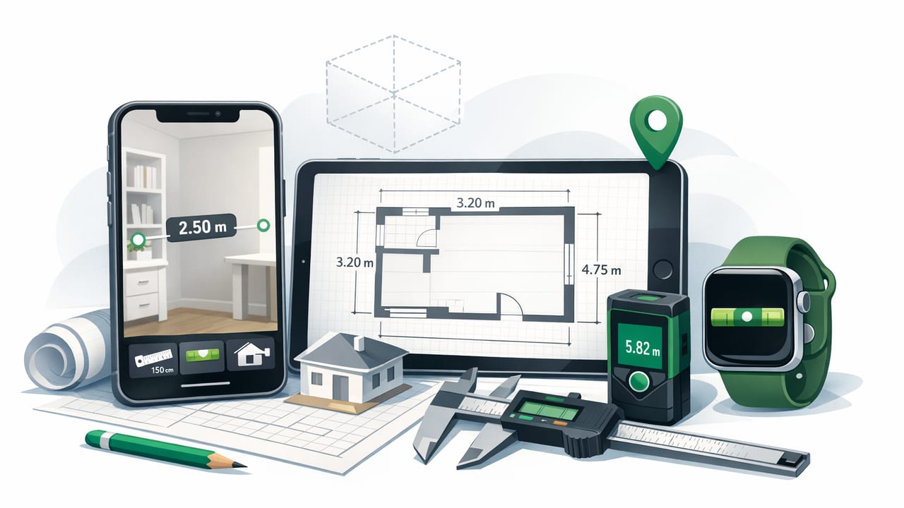
Phones have quietly become capable field instruments. Modern iPhones include a gyroscope, accelerometer, magnetometer, barometer, and high-quality cameras—enough hardware to support serious measurement workflows when paired with the right apps. For many trades and outdoor professionals, the best setup isn’t a single-purpose tool, but an iOS measurement app bundle for professionals: a compact kit that covers leveling, angle checking, distance/ruler work, orientation, pressure/altitude trends, and basic metal detection.
This guide explains what “professional-grade” means in a measurement app bundle, how to validate accuracy, and how to build repeatable workflows that hold up on job sites, inspections, and remote travel—especially when you’re offline.
Why professionals prefer a measurement bundle (not one-off apps)
In the field, you don’t want to hunt across multiple apps with different UI conventions, export formats, and calibration methods. A coherent bundle is valuable because it reduces friction and error—two costly issues when measurements drive decisions.
- Consistency: One place to calibrate, one design language, fewer “mode mistakes.”
- Speed: Swap from level → angle → compass without losing context.
- Repeatability: A stable workflow you can teach to a team.
- Offline resilience: Many sites (basements, new builds, remote areas) have unreliable service.
Core tools a pro bundle should include
Not every role needs every tool every day, but a professional bundle typically covers these “eight essentials.” If an app claims to be professional, it should handle most of them well, not just one.
1) Bubble level (single-axis + dual-axis)
Look for both single-axis (pitch or roll) and dual-axis leveling, plus clear readouts in degrees and/or slope. Dual-axis helps when you need “flat in both directions” (e.g., appliances, machine bases, slabs, RV pads).
2) Angle finder / inclinometer
Angle measurement is its own workflow: roof pitch checks, stair stringer layouts, pipe runs, machine alignment, and framing verification. A good inclinometer should support:
- 0.1° (or better) resolution with stable smoothing
- Hold/freeze for recording
- Reference/relative mode (zero at any angle)
3) Ruler / on-screen measurement
On-screen rulers are excellent for small objects, templates, clearances, and quick sanity checks. The key is device-specific calibration (screen size and pixel density vary).
4) Compass with heading + bearing
Professionals need more than a “pretty compass.” Prioritize:
- Numeric heading in degrees
- Bearing lock or easy capture for notes
- Declination awareness (or at least clarity about true vs. magnetic north)
5) Barometer (pressure trends)
Pressure readings help with weather awareness and altitude changes. For field use, what matters is trend visibility (hour-by-hour), unit options, and stable sampling—especially when you’re away from service.
6) Metal detection (magnetometer-based)
Phone magnetometers can detect magnetic anomalies (e.g., ferrous nails, some studs, certain fasteners). It’s not a replacement for dedicated detectors, but it’s useful for quick screening and educational checks.
7) Basic navigation utilities
Even simple utilities—coordinate display, elevation reference, or quick “point-to” bearings—add real value if you document locations during site walks, audits, or remote travel.
8) Calibration and diagnostics
Professional use demands calibration prompts and stable sensor handling. If a bundle hides calibration or makes it ambiguous, that’s a red flag.
Accuracy: what you can (and can’t) trust
Phone sensors are accurate enough for many tasks, but they are not magic. Treat the phone as a field instrument that benefits from validation, just like a level or tape.
Practical accuracy checks (5 minutes)
- Level “flip test”: Place the phone on a flat surface, note the angle, rotate 180° in the same spot. The readings should mirror each other (e.g., +0.2° becomes -0.2°). Large differences suggest calibration issues or a non-flat surface.
- Angle reference: Check 0°, 45°, and 90° against a known square/triangle. You’re verifying repeatability more than perfection.
- Compass interference: Compare headings away from metal (vehicle body, tool belts, rebar, electrical panels). If the heading swings dramatically, relocate and recalibrate.
- Barometer stability: Let the phone sit for a minute indoors; pressure shouldn’t jump wildly. Then move outdoors and watch for gradual shifts, not spikes.
Field rule: If the environment is unstable (vibration, metal interference, temperature swings), trust repeatability over a single “perfect” reading.
Offline-first matters more than most people think
In professional contexts, offline isn’t a “nice to have.” It prevents downtime when you’re in basements, mechanical rooms, mountains, or newly framed structures with no reception. Offline operation also tends to align with better privacy: fewer background calls, fewer permissions, and fewer surprises when you open an app on a client site.
When evaluating a bundle, confirm that core tools work without data access:
- Compass headings should display without loading maps.
- Barometer charts should store locally.
- Calibration instructions should be accessible offline.
Workflow templates professionals actually use
The biggest upgrade is not downloading tools—it’s standardizing how you capture and share measurements. Below are templates you can adapt to your role.
Workflow A: Jobsite “level + angle” verification
- Step 1: Run a quick flip test on a known flat reference (countertop, level reference plate, machined surface).
- Step 2: Measure target surfaces in the same phone orientation (top edge always facing the same direction) to reduce handling variance.
- Step 3: Use hold/freeze to capture readings; record both angle and location (e.g., “North wall header, center”).
- Step 4: Repeat once. If the second reading differs meaningfully, treat it as a signal to re-check your reference surface.
Workflow B: Compass + bearing notes for site walks
When documenting site conditions (fence lines, trails, utility routes), a consistent bearing capture method helps you reconstruct what you saw.
- Stand clear of vehicles and steel structures.
- Calibrate if the heading feels “sticky” or drifts.
- Record bearing and a short description (object, distance estimate, landmark).
Workflow C: Barometric trend check for outdoor operations
Pressure trends can hint at approaching changes. You don’t need a forecast—just watch trend direction and pace.
- Establish baseline: Note pressure at start time.
- Check periodically: Compare every 30–60 minutes during critical windows.
- Interpret conservatively: Rapid drops can signal increasing risk; corroborate with clouds/wind and local knowledge.
Evaluation checklist: how to choose a bundle that holds up
Use this checklist before standardizing on an app bundle for you or your team.
| Category | What to look for | Quick test |
|---|---|---|
| Calibration | Clear steps, reset options, relative/zero mode | Run flip test + re-zero at 10° |
| Readability | Large numerals, high contrast, stable smoothing | Check in bright sun + low light |
| Offline operation | Works without internet; stores data locally | Enable airplane mode; use all core tools |
| Units & formats | Degrees/slope; hPa/inHg; inches/cm; true vs magnetic clarity | Switch units; verify nothing breaks |
| Stability | No sensor “jumping,” minimal crashes, predictable behavior | Open/close tools repeatedly; rotate phone |
| Data capture | Hold, snapshots, easy copy/paste to Notes | Record 5 readings in under 2 minutes |
Bundle vs. single-purpose apps: a practical comparison
Single-purpose apps can be excellent, but they often create a fragmented workflow. Here’s a decision-oriented view.
- Choose a bundle if you frequently switch tools (level → compass → ruler) in the same session, want a standard toolkit for a crew, or need offline reliability.
- Choose a specialist app if you need niche features (advanced GIS, CAD export, photogrammetry) and you’re willing to manage extra complexity.
Measurement logging: a simple, repeatable format
Pros lose time when notes are inconsistent. Standardize a compact log format you can paste into Notes, email, or a ticketing system.
PROJECT: __________
DATE/TIME: ________
DEVICE: iPhone ____ (iOS ___)
REFERENCE: (surface/tool used for baseline)

READINGS:
- Location: __________ | Tool: Level | Value: ___° | Notes: __________
- Location: __________ | Tool: Angle | Value: ___° | Notes: __________
- Location: __________ | Tool: Compass | Bearing: ___° (mag/true?) | Notes: ______
- Location: __________ | Tool: Barometer | Pressure: ____ hPa | Trend: rising/falling
This structure makes it obvious what was measured, where, with what tool, and under what conditions—critical for QA, handoffs, and dispute avoidance.
Common pitfalls (and how to avoid them)
Magnetic interference
Tool belts, steel-toe boots, rebar, vehicles, and even some phone cases can distort compass and metal readings. Step away, remove magnetic accessories, and recalibrate.
Non-flat “flat” surfaces
Countertops and floors often have intentional slope. If your level reading seems wrong, validate against a known reference (a reliable spirit level or a machined edge).
Overconfidence in tiny decimals
Displaying 0.1° doesn’t guarantee 0.1° real-world accuracy in every condition. Focus on repeatability and the tolerance appropriate to the task.
Inconsistent phone placement
Always use the same phone edge and orientation for a series of measurements. Mark a “measurement edge” on your case if needed.
When a phone-based kit is the right tool (and when it isn’t)
A phone bundle shines for screening, verification, documentation, and portability. It’s ideal when you need quick checks, consistent logs, and the ability to carry a toolkit everywhere.
Use dedicated instruments when:
- Regulations require certified tools
- You need long-range distance accuracy (laser distance meters, total stations)
- You’re in extreme environments that challenge phones (heavy rain, constant vibration, high heat)
Putting it together: what “professional” should feel like
A true professional bundle is fast, readable, offline-capable, and calibration-forward. It should help you answer practical questions: “Is this surface within tolerance?” “What bearing did we take from this point?” “Is pressure trending quickly?” “Is there likely metal behind this spot?”
If you want an example of an offline iOS toolkit that combines several of these measurement utilities into one app, Level Tool is one option to evaluate against the checklist above.
