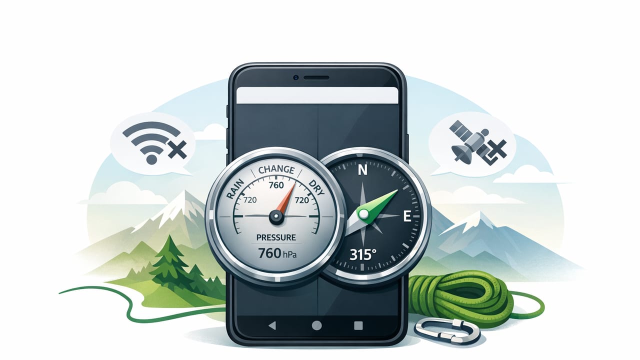
When you’re hiking without reception, working on a remote job site, or trying to keep your phone data-private, an offline barometer and compass app can be surprisingly useful. Your iPhone carries multiple sensors that can estimate direction, detect magnetic fields, and measure air pressure—often without needing the internet at all.
This guide explains how a barometer and compass app offline typically works, what readings you can trust, how to calibrate for better accuracy, and practical workflows for DIY, home improvement, and outdoor navigation.
Why offline matters for barometer + compass tools
Many measurement apps rely on maps, cloud services, or analytics SDKs that expect constant connectivity. An offline-first approach is valuable because it:
- Works without signal (backcountry trails, basements, rural job sites).
- Improves privacy (no location sharing required to display a heading or pressure reading).
- Reduces distractions (fewer background fetches, fewer permissions).
- Stays usable in emergencies when networks are congested.
Important nuance: “offline compass” is straightforward (it can read sensors locally). “Offline barometer” is also local (it reads pressure locally), but altitude derived from pressure is more complicated because it depends on weather and reference pressure.
What sensors your iPhone uses (and what they measure)
Most iPhones include a set of motion and environmental sensors that apps can read directly. A typical offline barometer + compass tool draws from:
- Magnetometer: measures magnetic field direction/strength (used for compass heading).
- Gyroscope: detects rotation (stabilizes heading changes).
- Accelerometer: detects tilt and orientation (helps correct compass readings and enables level tools).
- Barometer (where supported): measures air pressure (used for pressure trends and altitude estimates).
Practical takeaway: A compass is mainly about magnetic heading + tilt compensation. A barometer is mainly about pressure trends. Altitude is a calculated value, not a direct sensor reading.
Compass basics: true north vs magnetic north
An offline compass typically shows magnetic north, because that’s what the magnetometer senses. Some apps can show true north by applying a declination correction, but that correction may require either:
- your approximate location (to look up magnetic declination), and/or
- a stored declination model that can work without the internet.
For many DIY and navigation tasks, magnetic heading is enough—especially when you’re using the compass for relative bearings (e.g., “walk 40° to the ridge”). If you need map-accurate bearings, learn the declination for your region and apply it consistently.
Common compass accuracy killers (and how to fix them)
- Nearby metal (car bodies, tool belts, steel beams): step away a few feet and retest.
- Magnets (MagSafe accessories, magnetic mounts): remove them during compass use.
- Electrical interference (power tools, active wiring): turn off or move away if possible.
- Tilt: keep the phone level; tilt compensation helps, but extreme angles still degrade readings.
Barometer basics: pressure readings you can actually use
A barometer sensor reports air pressure (often in hPa, mbar, or inHg). The most reliable offline uses are:
- Tracking pressure trends: rising pressure often correlates with improving weather; falling pressure can signal deterioration.
- Spotting abrupt changes: a fast pressure drop can indicate an approaching front, especially notable over a few hours.
Altitude estimates can be useful, but they’re sensitive to weather. Two hikers at the same place can see different “altitude” if the pressure baseline is off.
Pressure vs. sea-level pressure (QNH)
Many apps offer two concepts:
- Station pressure: what the sensor measures at your current location.
- Sea-level pressure: a normalized value used in weather reporting (requires an adjustment based on altitude and conditions).
If an app is truly offline, it may not have current sea-level references. In that case, rely more on trend than absolute “storm vs sun” thresholds.
Best workflow: offline navigation with compass + barometer
Here’s a practical way to combine both tools when you don’t have service:
- Start with a bearing plan: from a paper map or pre-downloaded route notes, identify your intended bearing(s).
- Calibrate the compass (details below) and remove magnetic accessories.
- Take a stable heading: hold the phone flat, away from your body’s metal items, and confirm the bearing remains steady for a few seconds.
- Use landmarks: pick a visible object along your bearing (tree, rock outcrop) and walk to it, then repeat.
- Check pressure trend every 30–60 minutes if weather risk matters: a sustained drop can be your prompt to shorten the route or seek shelter earlier.
DIY + home improvement use cases (yes, compass and barometer can help)
- Satellite dish alignment (rough): a compass can help get an initial azimuth before fine-tuning with signal strength.
- Site orientation: quickly identify cardinal directions when planning sun exposure for a garden bed or outdoor work area.
- Weather-aware scheduling: pressure trend checking can help decide whether to paint outdoors or delay a roof task (not a forecast, but a hint).
Calibration: how to get the most accurate readings
Compass calibration checklist
- Remove magnetic cases/mounts (especially MagSafe rings and magnetic wallets).
- Move away from large metal: cars, steel tables, rebar, electrical panels.
- Follow the app’s calibration prompt: many use the iOS “figure-eight” motion.
- Verify against a known direction: a mapped trail heading, the sun’s general position, or a known street grid.
Barometer calibration (what you can and can’t do offline)
Unlike a compass, you typically don’t “calibrate” a barometer in the field—pressure sensors are factory-calibrated. What you can do:
- Establish a baseline: note the current pressure at a known time/place.
- Use trend graphs if available: trend is often more valuable than the absolute number.
- For altitude: if the app allows manual reference, set your altitude at a known point (trailhead sign, topo map spot elevation). That improves altitude estimates for the next portion of your trip.
What to look for in a “barometer and compass app offline”
Not all apps handle offline use equally. Here are features that matter in real-world scenarios:
| Feature | Why it matters offline | Good sign |
|---|---|---|
| Compass with tilt compensation | Stabilizes heading when your phone isn’t perfectly flat | Heading stays steady as you slightly tilt |
| Declination support | Helps match paper maps (true north) without guessing | Lets you choose true vs magnetic or set declination |
| Pressure trend chart | Most actionable barometer insight is trend over time | Graph for 1–24+ hours with min/max |
| Offline-first design | No dead screens when you’re out of service | Works in Airplane Mode |
| Clear units (hPa/inHg) | Avoids mistakes when comparing notes or forecasts later | Unit toggle + consistent labeling |
Troubleshooting: quick fixes when readings look wrong
If your compass jumps or points the wrong way
- Disable or remove magnetic accessories (wallets, mounts, some cases).
- Step away from metal structures and vehicles.
- Recalibrate and hold the phone flatter.
- Restart the app (sensor sessions can occasionally get “stuck”).
If your barometer/altitude seems off
- Check if you’re looking at pressure or altitude (altitude is derived).
- Look for a trend view; ignore small wiggles and focus on sustained changes.
- If altitude can be set manually, set it at a known elevation point.
For developers: reading compass + pressure in iOS (offline)
If you build internal tools for field teams, iOS provides local sensor access via Core Location and Core Motion. The following simplified Swift snippets illustrate the concept (error handling and permissions omitted for brevity).
import CoreLocation

final class HeadingReader: NSObject, CLLocationManagerDelegate {
    private let manager = CLLocationManager()

    override init() {
        super.init()
        manager.delegate = self
        manager.requestWhenInUseAuthorization()
        manager.headingFilter = 1 // degrees
        manager.startUpdatingHeading()
    }

    func locationManager(_ manager: CLLocationManager, didUpdateHeading newHeading: CLHeading) {
        // Magnetic heading works offline
        let magnetic = newHeading.magneticHeading
        // True heading may be -1 if unavailable
        let trueHeading = newHeading.trueHeading
        print("Magnetic: \(magnetic), True: \(trueHeading)")
    }
}
import CoreMotion
final class PressureReader {
private let altimeter = CMAltimeter()
func start() {
guard CMAltimeter.isRelativeAltitudeAvailable() else { return }
altimeter.startRelativeAltitudeUpdates(to: .main) { data, error in
guard let data else { return }
// Pressure is reported in kilopascals (kPa)
let kPa = data.pressure.doubleValue
let hPa = kPa * 10.0
print("Pressure: \(hPa) hPa")
}
}
}These readings are generated from on-device sensors, so they can function without a network connection (subject to device hardware support and user permissions).
FAQ: offline compass and barometer questions
Will an offline compass work in Airplane Mode?
Usually yes. A compass relies on the magnetometer and motion sensors, not cellular data. GPS is separate from compass heading.
Does a barometer predict weather?
It’s not a full forecast, but it can provide useful clues. Trends (rising vs falling pressure) are more meaningful than a single reading.
Is “altitude” from a barometer accurate?
It can be good over short periods if you set a correct baseline, but it drifts with changing weather. For critical altitude needs, cross-check with a known elevation point or another method.
Wrap-up: a reliable offline toolset in your pocket
An offline-first approach turns your iPhone into a practical field instrument: the compass helps you maintain direction when maps and signals fail, and the barometer helps you read environmental change through pressure trends. If you choose an app that emphasizes sensor-based readings, clear units, and calibration guidance, you’ll get far more dependable results—especially outdoors and on job sites.
If you prefer having multiple measurement tools alongside an offline compass and barometer in one place, apps like Level Tool bundle these utilities while remaining usable without subscriptions or connectivity.
