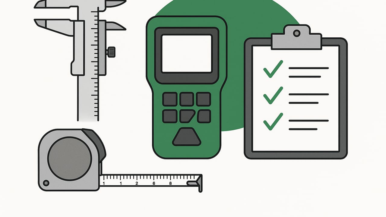
A handheld measurement suite consolidates the essential tools you need for everyday builds, on-site checks, outdoor navigation, and quick diagnostics into one pocketable device. With modern phones and sensors, you can measure level, angle, distance, direction, altitude and pressure trends, and even detect nearby metal—all without a toolbox. This guide explains what a handheld measurement suite includes, how accurate it can be, where it excels, how to calibrate for better results, and field-tested workflows you can apply today.
What is a handheld measurement suite?
A handheld measurement suite is a compact set of measurement tools you carry on your phone or a small device, using integrated sensors (accelerometer, gyroscope, magnetometer, barometer, camera, and sometimes LiDAR). Instead of separate hardware like a spirit level, protractor, compass, barometer, and metal finder, your phone acts as an all-in-one instrument. The best suites run offline, respect your privacy, and provide repeatable readings with calibration options.
Reasons to use one:
- Replace multiple tools when packing light or moving between jobs
- Get quick, good-enough readings to inform decisions or verify a setup
- Log and share measurements for team coordination and documentation
- Navigate or check elevation and weather pressure trends while offline
Core components and what they do
Most people expect at least a level, ruler, compass, barometer, and metal detection. A mature handheld measurement suite often adds dual-axis leveling, inclinometer, laser-guided alignment, and a plumb reference. Here’s how the main tools help in the field.
Bubble level and dual-axis level
A digital bubble level uses your device’s accelerometer and gyroscope to find horizontal and vertical planes. Dual-axis leveling shows pitch and roll simultaneously, which speeds up cabinetry, shelving, and equipment installs where level in both axes matters. Look for zeroing and relative angle modes to set reference to any surface.
Ruler and on-screen caliper
On-screen rulers and camera-based measurement can quickly size small parts or verify spacing. For best results, use a known reference (credit card, printed scale, or tape mark) and calibrate screen-to-object distance. Good apps provide fine-grain units (mm, in, 1/16 in) and parallax guidance.
Compass and true heading
A magnetometer-based compass gives you cardinal directions; with sensor fusion and location data, it can estimate true heading. Calibrate frequently, keep magnets and steel away, and use slope-compensated readings for accurate bearings on uneven ground. Ideal for solar panel alignment, satellite dish setup, or hiking navigation.
Barometer and pressure trend
Barometric sensors approximate altitude and track pressure trends. In the field, you can measure relative elevation changes (e.g., stair rise, decks, or roofline comparisons) and watch weather fronts. Zero the barometer at a known benchmark to improve vertical precision.
Metal detector and stud/pipe checks
By observing magnetic field changes, a phone can flag ferrous metals and some energized wiring. It’s not a replacement for professional scanning, but it’s excellent for a first pass before drilling. Sweep slowly, note directionality, and confirm with a second method when consequences are high.
Inclinometer, plumb, and laser projection
An inclinometer reports angle relative to gravity, while a plumb indicator finds vertical alignment. Some suites use your flashlight or screen line as a pseudo laser guide to project straight alignment along a wall or ceiling—ideal for tile runs or picture arrays.
Accuracy, calibration, and limits
How precise can you get with a handheld measurement suite? The short answer: precise enough for most DIY and many pro checks, with caveats. The sensors are sensitive, but environmental interference and mounting methods matter. Build a habit of calibration and verification, and your results will be consistent and defensible.
| Tool | Typical use | Expected accuracy (good practice) | Pro tip |
|---|---|---|---|
| Bubble level | Level/vertical surfaces | ±0.1–0.2° | Flip-and-average to cancel device bias |
| Dual-axis level | Cabinet, machine leveling | ±0.1–0.2° per axis | Zero to reference, then compare parts |
| Compass | Heading/bearing | ±3–7° in clean environments | Stay 20–30 cm from steel/magnets |
| Barometer | Pressure/relative altitude | ±1–3 hPa; ±0.3–1.0 m relative | Zero at a known elevation |
| Metal detect | Locate ferrous/object | Qualitative; proximity-based | Slow scans; cross-check from two angles |
Calibration checklist
- Level: Place device on a known level surface. Zero, rotate 180°, note the difference, and average.
- Compass: Perform a figure-eight motion in open air; avoid cases with magnets; toggle true vs. magnetic north.
- Barometer: Set local pressure or elevation from a reliable station; re-zero if temperature shifts widely.
- Ruler: Calibrate against a steel rule; lock scale; avoid angled camera shots without parallax guides.
Know the limits: phone cases with metal, magnetized drivers in your pocket, speakers, and nearby steel beams can skew magnetometer readings. Vibrations, soft surfaces, or curved edges can affect leveling. Camera-based measurements degrade with low light or extreme angles. When stakes are high (structural work, code-signoff tolerances), confirm with a dedicated instrument.
Practical workflows
1) Hang three frames in a straight line
- Mark center point at intended height using the ruler.
- Use the bubble level’s laser/alignment line to project a straight reference across the wall.
- Measure equal spacing with the ruler or on-screen caliper; tick marks light and small.
- Set nails or anchors; verify each frame with the dual-axis level resting on the top edge.
- Final pass: micro-adjust until bubble and line agree.
2) Verify a porch’s pitch and drainage
- Pick a 2 m (or 6 ft) reference span; place device on a straight board.
- Use inclinometer to read slope; target 1–2% for drainage.
- Zero the level at the high point; walk to the low point and read relative angle/drop.
- Log angle and location for before/after comparisons.
3) Locate a pipe before drilling
- Scan the wall slowly with the metal detector mode; mark peaks in signal strength.
- Repeat the scan at 90° to the first pass to triangulate.
- Switch to compass mode briefly: if the heading jumps near a mark, you may be close to ferrous metal.
- Drill a tiny pilot in a safe zone if applicable, or confirm with a dedicated stud/pipe scanner for critical locations.
Logging and repeating measurements
Repeatability matters on multi-day jobs and collaborative projects. A good handheld measurement suite lets you save measurements with time, location, tool type, and notes—ideally offline. Even if your tool doesn’t include logging, you can maintain a simple format for team members to read and reuse.
Example logging template (pseudo-JSON):
{
  'project': 'Deck Northwest Corner',
  'entries': [
    {
      'tool': 'dual-axis-level',
      'reading': {'pitch_deg': 0.3, 'roll_deg': -0.1},
      'ref_zero': 'beam_A1',
      'coords': {'lat': 47.6205, 'lon': -122.3493},
      'notes': 'Post-shim check after rain.'
    },
    {
      'tool': 'barometer',
      'reading': {'pressure_hPa': 1013.2, 'rel_alt_m': -0.6},
      'ref_zero': 'landing_top_step',
      'notes': 'Weather steady; alt vs. benchmark.'
    }
  ]
}
Tips for consistent logs:
- Always record the reference zero used for relative measurements.
- Capture environmental context (surface type, temperature, wind).
- Include photos with the device position visible when angle matters.
- Repeat a control measurement daily to spot drift or sensor bias.
How to choose a reliable suite
- Offline first: Tools should work without connectivity for jobsite and backcountry reliability.
- Calibration controls: Look for zeroing, flip-to-verify workflows, and unit customization.
- Dual-axis and relative modes: Critical for leveling multiple components to a shared reference.
- Clear UX for alignment: Laser line or visual guides for straight runs and plumb checks.
- Transparent accuracy claims: Practical ranges and tips to mitigate sensor limitations.
- Privacy and cost: No subscription required is a plus, and local processing protects data.
- Compatibility: Support for the latest devices, sensors, and relevant OS accessibility features.
Safety and ethics
- Electrical caution: A phone-based metal detector is not a certified live-wire detector. De-energize circuits and use approved testers when in doubt.
- Heights and lifting: Do not compromise ladder safety while aligning with a phone; secure your position first.
- Magnetic exposure: Keep strong magnets away from drives and medical devices; avoid phone cases with magnet plates during compass work.
- Record-keeping: When logging in shared spaces, respect privacy norms and local policies.
Troubleshooting common issues
If your handheld measurement suite starts giving odd or inconsistent results, try these fixes.
- Compass swings wildly: Remove magnetic case; step away from steel doors, vehicles, or rebar; perform a figure-eight recalibration.
- Level won’t settle: Move to a firm substrate; stop any vibration sources; flip-and-average to cancel tilt bias.
- Metal detector false positives: Reduce scan speed; hold device orientation constant; cross-check from a perpendicular path.
- Ruler mismatch: Recalibrate against a known standard; reduce camera angle; use the same distance each time.
- Altitude drift: Re-zero the barometer at a benchmark; note weather changes; compare to a nearby station for sanity checks.
Field checklist
- Calibrate level and compass before critical tasks
- Verify a known reference (straightedge or bubble vial)
- Remove magnetic accessories or cases
- Enable offline modes and save a local log
- Photograph the device placement for angle-critical readings
- Cross-check high-stakes measurements with a second method
The right workflow matters more than the fanciest sensor. Calibrate, verify, document—then decide.
Used thoughtfully, a handheld measurement suite can replace a small toolbox while improving speed and documentation quality. For iPhone users who want an offline, no-subscription option that bundles a bubble level, ruler, compass, barometer, metal detection, dual-axis leveling, and laser-alignment aids, consider trying Level Tool.
