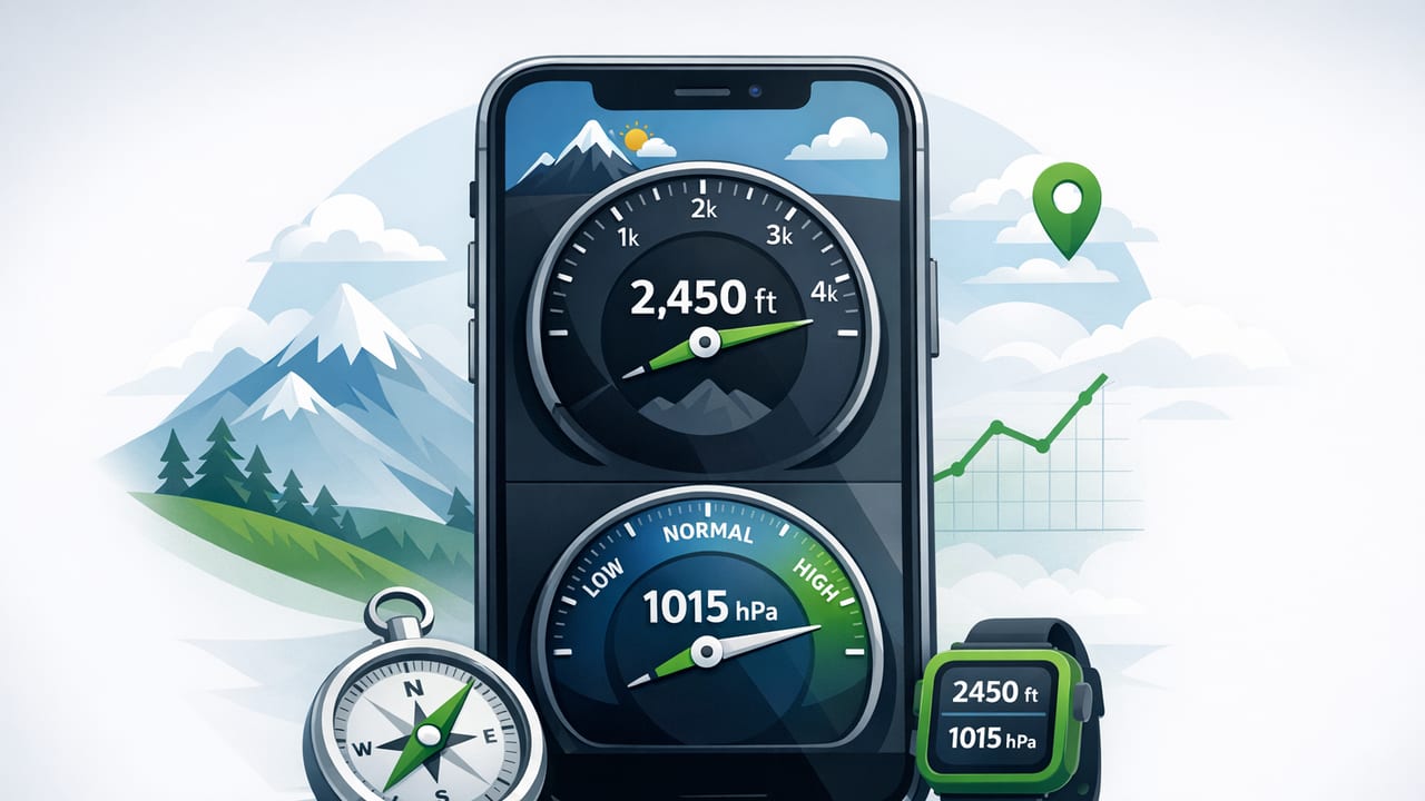
An altimeter barometer app can turn your iPhone into a practical tool for estimating elevation changes, tracking weather shifts, and planning outdoor or DIY work—often even when you’re offline. But to get trustworthy results, it helps to understand what the app is actually measuring, what “altitude” means in this context, and how to calibrate for real-world conditions.
This guide breaks down how barometric altitude works, what affects accuracy, and how to set up a repeatable workflow for hiking, travel, and jobsite use.
What an altimeter barometer app actually measures
Your iPhone may include a barometric pressure sensor (barometer). A barometer measures air pressure. An altimeter feature in an app typically uses that pressure reading to estimate altitude—because pressure generally decreases as elevation increases.
That means an altimeter derived from a barometer is usually measuring pressure altitude, not “GPS altitude.”
Barometric altitude vs GPS altitude
- Barometric altitude: Sensitive to short-term elevation changes (stairs, ridgelines) but also sensitive to weather-related pressure changes.
- GPS altitude: Based on satellite geometry; can be decent in open sky but often noisy in forests, canyons, and urban areas.
Many users get the best results by treating barometric altitude as a relative tool (gain/loss, trending) and calibrating it for absolute elevation when needed.
Why calibration matters (and when it’s required)
Because a barometer senses pressure, and pressure changes with both altitude and weather, your altitude estimate can drift over time—even if you don’t move. A passing low-pressure system can make your app think you climbed, and a high-pressure build can look like a descent.
Calibration is the process of telling the app your current reference so it can convert pressure into a more accurate altitude estimate.
Two common calibration approaches
- Calibrate by known altitude: Enter your current elevation from a trailhead sign, benchmark, topo map, or building floor plan.
- Calibrate by sea-level pressure: Enter local sea-level pressure (often from a nearby weather station). Apps may label this as “sea-level pressure,” “QNH,” or “station pressure” depending on context.
If you’re doing outdoor navigation or tracking a climb, calibrating at the start (and occasionally during long outings) can make your data far more usable.
How to get accurate readings: a practical workflow
1) Start with the right conditions
- Let your phone acclimate: Pressure sensors can respond slightly differently after rapid temperature changes (e.g., warm car to cold trailhead). Give it a few minutes.
- Avoid wind pressure effects: Don’t press the phone tightly against a jacket opening in strong wind; airflow and micro-pressure changes can introduce noise.
- Stabilize your position: Stand still for 10–20 seconds and watch for readings to settle before setting a calibration point.
2) Choose a reliable reference point
Best references are those you can trust and repeat:
- Trailhead elevation signs (often good, but not always updated)
- Topographic maps with clear contour intersections
- Survey benchmarks (most reliable)
- Building plans (for indoor or jobsite use, if floor elevations are known)
3) Calibrate, then track changes
Once calibrated, an altimeter barometer app tends to excel at relative change (how much you gained/lost) over the next hour or two—assuming the weather isn’t shifting rapidly.
Rule of thumb: If a weather front is moving in, you may see “altitude drift” even while stationary. Recalibrate more often in unstable conditions.
4) Recalibrate at logical checkpoints
Good times to recalibrate include:
- Summits with posted elevations
- Passes/saddles on mapped trails
- Cabins or huts with known altitude
- Any time your “stationary altitude” seems to creep over 10–20 meters (or 30–60 feet)
Understanding pressure units and what they mean
Most apps display pressure in one or more units. Here’s a quick reference:
| Unit | Common use | Typical sea-level range |
|---|---|---|
| hPa (hectopascal) | Weather / meteorology | ~980–1035 hPa |
| mbar (millibar) | Weather (equivalent to hPa) | ~980–1035 mbar |
| inHg (inches of mercury) | US weather/aviation | ~28.9–30.5 inHg |
Note: 1 hPa = 1 mbar. If your app shows both, they’ll match numerically.
Common accuracy issues (and how to troubleshoot them)
Issue: Altitude is consistently “off” by a lot
- Likely cause: No calibration or wrong reference (e.g., map datum mismatch).
- Fix: Calibrate using a known elevation; confirm your map source is current and uses the same units.
Issue: Altitude slowly changes while you’re not moving
- Likely cause: Weather pressure change.
- Fix: Recalibrate; optionally track pressure trend separately (pressure dropping often signals deteriorating weather).
Issue: Readings are “jumpy”
- Likely cause: Rapid movement, wind exposure, or sensor noise.
- Fix: Hold the phone steady; give the sensor time to stabilize; avoid blocking or pressurizing the phone in a pocket.
Using pressure trends for simple weather awareness
Even without forecasting, pressure trends can be useful:
- Falling pressure over hours: Often associated with incoming unsettled weather.
- Rising pressure: Often indicates improving or stable conditions.
- Fast drops: Can precede strong winds or storms (especially in mountainous terrain).
Because local geography matters, treat pressure trends as context, not certainty—especially if you’re traveling between elevations without frequent recalibration.
Offline use: what works without a signal
A true barometer-based altimeter doesn’t need cellular service to measure pressure. However, some conveniences may require internet:
- Works offline: Pressure readings, relative altitude changes, manual calibration using known elevation.
- May need internet: Auto-calibration from nearby weather stations, map tiles, or synced location services.
If offline reliability is a priority, pick an app that can operate fully offline and lets you calibrate manually.
Pressure-to-altitude math (for the curious)
Many apps use a version of the barometric formula to estimate altitude. A commonly used approximation (under standard atmosphere assumptions) relates pressure ratio to altitude.
Here’s a simplified example in Swift-like pseudocode that converts pressure (in hPa) to altitude (meters) using a sea-level reference pressure:
// p: measured pressure at your location (hPa)
// p0: sea-level reference pressure (hPa)
// Returns altitude in meters (approx.)
func altitudeMeters(p: Double, p0: Double) -> Double {
    // Standard atmosphere approximation
    return 44330.0 * (1.0 - pow(p / p0, 0.1903))
}
Important: This is an approximation. Temperature, humidity, and weather systems affect real conditions—one reason calibration (or frequent reference checks) matters.
Choosing a good altimeter barometer app: a checklist
When comparing options, look for features that make the tool dependable in the field:
- Manual calibration by altitude and/or sea-level pressure
- Clear units (hPa/mbar, inHg, meters/feet)
- Trend indicators (pressure over time)
- Offline functionality without forced sign-ups
- Sensor-based readings (not only GPS)
- Simple UI you can read in sunlight or with gloves
Real-world scenarios where this tool shines
Hiking and trail navigation
Use an altimeter barometer app to verify you’re on the right contour band, estimate remaining climb, and monitor weather changes. Recalibrate at trailheads, passes, or summits with posted elevations.
Backcountry safety and planning
Pressure trends can add a layer of awareness when visibility drops. If pressure is falling quickly and clouds build, it may be time to shorten an objective or plan a conservative route.
DIY and jobsite checks
While barometric altitude isn’t a substitute for a laser level, it can help in niche situations—like tracking relative elevation between floors or monitoring pressure changes during weather-sensitive work (paint, adhesives, or curing schedules), as long as you treat it as informational and not a compliance measurement.
FAQ
Does every iPhone support a barometer?
No. Many modern models do, but not all devices include the hardware sensor. An app may fall back to GPS-based estimates if a barometer isn’t available.
Why does my altitude change indoors?
Indoor HVAC pressure differences, weather shifts, and normal sensor drift can all move the reading slightly. Indoors, recalibrate more often if you need consistent relative comparisons.
Is barometric altitude better than GPS?
For short-term elevation change, often yes—especially where GPS is obstructed. For absolute altitude, both can be wrong without reference checks. The best approach is calibration plus common-sense validation against known points.
Wrap-up
An altimeter barometer app is most powerful when you treat it like a real instrument: calibrate it, understand its limits, and use trends and checkpoints to keep readings grounded in reality. With a consistent workflow, your iPhone can provide genuinely useful pressure and altitude insight—whether you’re on a trail, traveling, or managing a project away from service.
If you prefer an offline set of iOS measurement tools that includes barometer/altimeter capabilities alongside other practical utilities, you can explore an all-in-one option like Level Tool.
